See the clearing before the permit shows up.
Land Clearing Alerts reads your parcel list every week for stripped vegetation, new fence lines and cut access tracks. Those are what a developer does once the decision is made, well ahead of the paperwork.
| Pass | Parcel | Change |
|---|---|---|
| W-14 | APN ···-···-031 | STRIPPING |
| W-14 | APN ···-···-207 | FENCE LINE |
| W-14 | APN ···-···-118 | ACCESS TRACK |
The rival's truck at the gate
You already watch the filings. The lead service pings when a preliminary plat lands, you check the planning commission agenda on Thursday, and a rep flags a land disturbance permit when the county posts it. Anyone with the same subscriptions sees the same filings, so your call to the site contractor goes out on the same morning as everyone else's.
The parcels you care about are the ones where that stops being true. A developer buys a wooded tract, brings in a crew, and strips it. A track gets cut in from the road. A line goes up along the boundary. None of that has to wait on a public record. The site contractor has started quoting stone, sand and concrete while your rep is still reading the agenda, and the first you hear of it is a competitor's truck at the gate, or a rep driving past on another errand who sees bare ground where a stand of trees was last month.
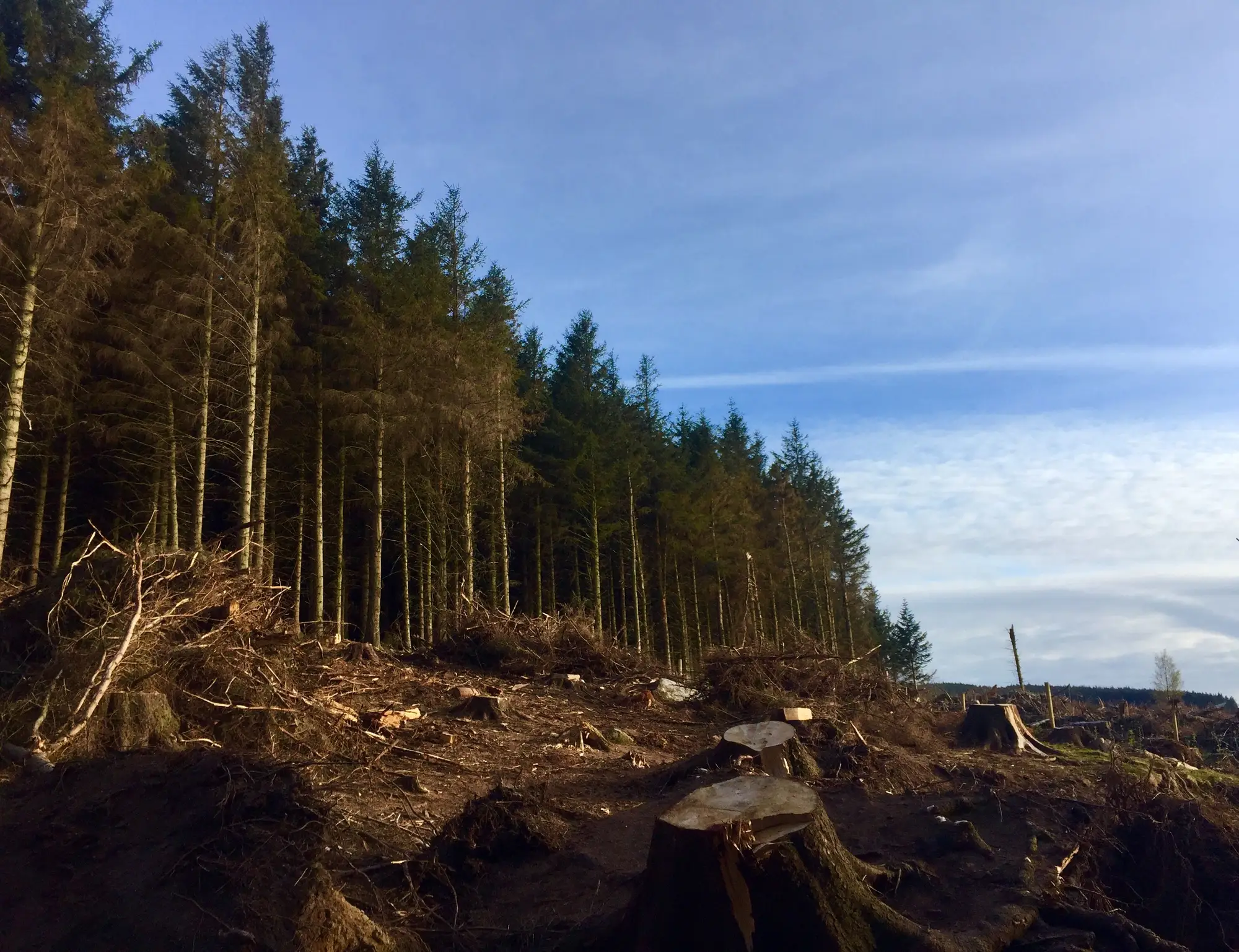
By then the account is someone else's. Nobody in your shop failed at their job. The signal was on the ground and nobody was looking at it. Land Clearing Alerts looks at your parcels every week and tells you which ones changed, so the call goes out while the site is still yours to win.
What arrives each week
The feed is for parcels you name. You don't get a region-wide picture of everything being cleared.
- 2.1
Weekly parcel-alert feed
CSVEach row is a watched parcel that changed since the last pass: the parcel ID you gave us, what kind of change, and the date of the pass that showed it. It's built to load into the CRM or the territory spreadsheet, so a rep sees it alongside the accounts they already own.
- 2.2
Change-type tag
Tag on each alertStripping, fencing and access track are tagged separately. A cut track from the road tells you something different from a fence line, and a call to a site contractor reads differently for each.
- 2.3
Parcel watchlist view
GeoJSONThe status of every parcel on your list, quiet or changed, on a map you can open in GIS or hand to a rep. It shows the parcels that have been clear for weeks as well, so you can tell a quiet lot from a lot nobody looked at.
How it works
- 3.1
Send your parcel list
Before the first passThe parcels you watch, as APNs, a boundary file or a county and a shortlist. Say roughly how many, and the territory they sit in.
- 3.2
Weekly high-resolution pass
Every weekEach watched parcel is checked against the prior week's imagery. Near-infrared helps tell real vegetation loss from the ordinary seasonal change on a lot.
- 3.3
Changes tagged and sent
Every weekStripping, fencing and access-track cuts are tagged by type and sent as that week's alert feed and watchlist map.
- 3.4
Pilot review
End of the pilot periodWe go through the alerts with you against what you found on the ground and what the county filings later showed. That tells you whether the signal is worth widening to more parcels.
Before the paperwork
Use the feed to decide which parcels get a call this week. A stripped lot in the territory goes to the rep who owns the county; a track cut into a parcel on the watchlist gets a call to the site contractor before the quote goes out. It runs next to your project-lead service and doesn't replace it. The lead service tells you when the filing lands. This tells you what the ground is doing before then.
Limits
- L1
An alert is ground activity
It says the ground changed. It doesn't say a permit was filed, that one is coming, or that the project will get built. Some cleared parcels never reach a permit. Check the county record for that.
- L2
It names the parcel and the change, not who did it
You get the parcel, the type of change and the date. Who is clearing, who owns the land and who the contractor is stay with you and your reps.
- L3
Small clearings can be missed
At 0.5 to 2 m a pixel, a stripped area or a cut track shows up. A few felled trees on a big lot may not. A fence itself is far thinner than a pixel, so fencing gets flagged only where a cleared line along the boundary shows.
- L4
Cloud can push an alert a week
The imagery is optical. If cloud sits over a parcel on the week's pass, that parcel's alert waits for the next clear one, and the row says so.
- L5
Weekly is a target
We aim for weekly. It isn't a daily feed and there's no delivery hour promised.
Who it's for
For
- Regional sales managers at building-materials suppliers, aggregate and ready-mix producers who cover a territory with a parcel list.
Who it's not for
- Teams that need a confirmed permit or a plan-review status. That's the county record.
- Teams that need to know who is clearing a parcel or who owns it.
- Reps looking for a region-wide list of every clearing. It watches the parcels you send.
- Teams that need daily alerts.
Questions before a pilot
Does an alert mean a permit was filed?
No. It means we saw ground activity on a parcel you watch. The permit may follow, may already exist, or may never come.
What if the parcel is under cloud that week?
The alert slips to the next clear pass, and the row shows the parcel wasn't seen that week.
Can it tell me who is clearing the land?
No. It flags the parcel and the type of change.
How is near-infrared used?
To help separate real vegetation loss from the ordinary seasonal change on a lot, such as a field going dormant or a crop coming off.
How small a clearing will it catch?
The imagery resolves between 0.5 and 2 m per pixel. A stripped area and a cut track show. Very small clearings may fall below what that reliably resolves.
How do we check it against what we see?
Hold the alerts against your reps' site visits and the county filings that follow. The pilot ends with a review of that comparison.
Will it load into our CRM?
There's no direct integration. The feed is a CSV that opens in a spreadsheet or imports into most CRMs, and the map is GeoJSON.
Who owns the data, and can we share it with the reps?
Your parcel list stays yours. Use of the alert files and the licence on the imagery behind them go into the pilot agreement before the first week runs.
How is it priced?
It depends on the size of the watchlist and the length of the pilot, so we quote once we've seen the list. There's no price on this page.
Start watching your parcels.
Send the parcel list and the counties they sit in. We'll scope a pilot area and period from there.